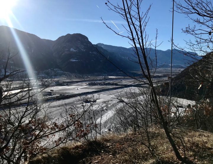
Archive for the ‘Bolzano’ Category

“Let’s go on a run,” I said: notes from a morning adventure run to the Montiggler Seen/Laghi di Monticoli

Posted by julie on Wednesday, 13 February 2019, 8:32

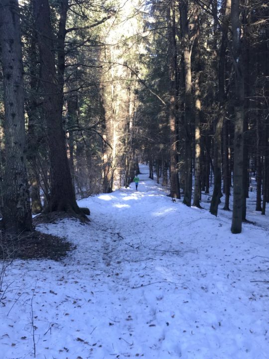
“The elevation of the lakes is only 500 meters,” I said. “It shouldn’t be snowy anymore,” I said. And yet…

This is what Chris looked like for most of my run: a bright green blur far up the trail.

And yet I underestimated the power of a good forest in shading the snow and preventing melting—and it was largely a deciduous forest, scattered through with just a few pines and firs. It snowed a full 10 days ago, after all; and it’s been pretty sunny since then. But yesterday’s adventure run turned out to be a different run than the one we’d originally planned. And, really, that was fine, because my husband would never complain about any run in the woods—or any morning spent together.
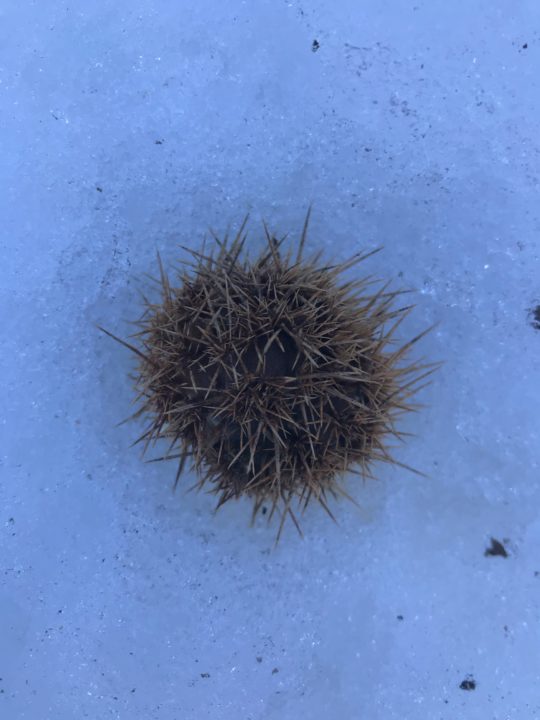
Castagna!
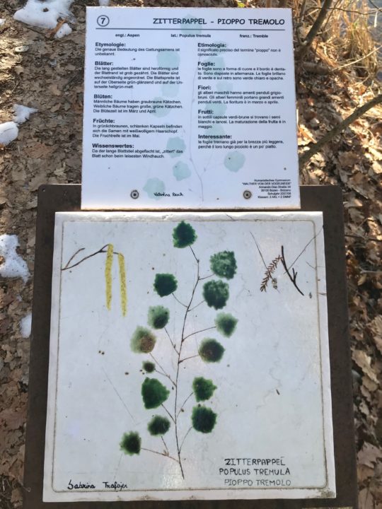
 

Populus tremula. European aspen.

Once the kids were off to school, we hopped on the next train headed south. We got off just a couple of stops later, in Bronzolo/Branzoll, where Chris found—on his amazing, free Südtirol2Go app—that in just a single minute, we could board a bus directly to the trailhead. Just let that sink in for a minute: we walked to the train station, got on a train, then took a public bus directly to our trailhead, which headed up some stairs alongside someone’s immaculately-kept house before diving into the woods. And that whole trip cost us just a few cents (really a few cents—like a quarter).

As our time in Bolzano hits its downhill slide (we’ve been in this apartment for five months, and we’ll be out in another four), I’ve begun thinking of the things I’ll really miss about being here. Taking public transportation (trains, buses, and funivias) directly to trails tops my list. Trails here nearly always connect directly to a train or bus line; the trails are so plentiful that, even in a decade of trail running directly out of Bolzano, I could probably not run all of the trails. Plenty of trails radiate from the funivias, too; who doesn’t want to take a gondola to their Sunday afternoon hike?
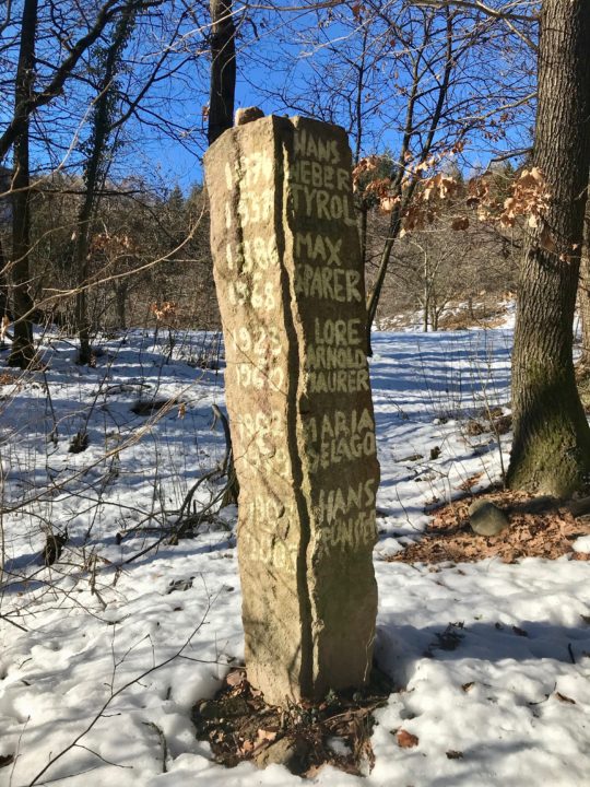
I’m pretty sure we stumbled upon an old graveyard? Maybe?
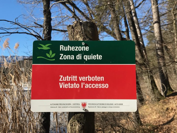
 

Ahhhh.
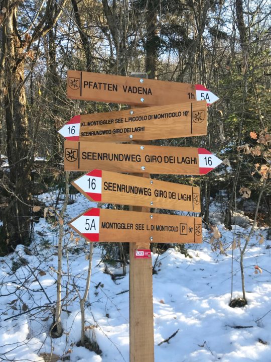
 

Gorgeous new trail signs.

But, anyway, back to the icy, snowy adventure run: The first, quick 250-meter climb, through an east-facing oak forest, was melted out. I slipped and slid on dry oak leaves covering the steep trail. Chris left me in the dust.

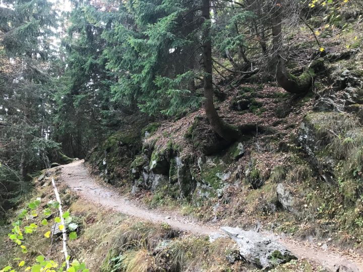
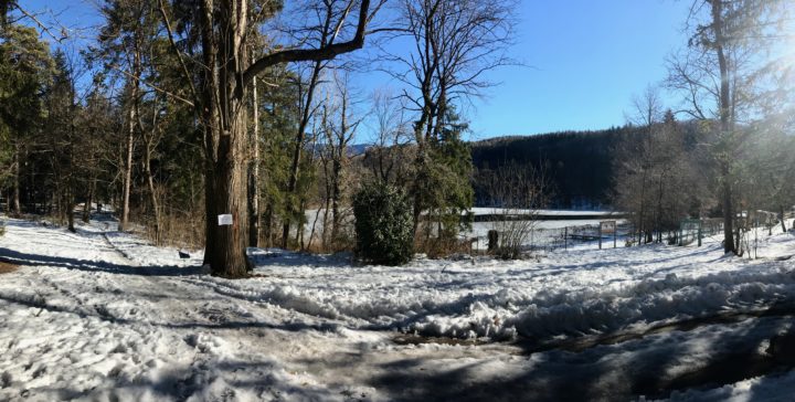
And then we hit the snow. As soon as we topped out on the ridge, snow glowed blue on the forest floor, cooling the air and slowing our steps. Each warm day, the snow had melted, then it refroze into a slick crust at night. We were left with a slippery trail, perfect for knocking middle-agers on our butts. Forging through the snow on the trailside was safer, though it meant breaking through a crust, dampening our feet and irritating our shins.

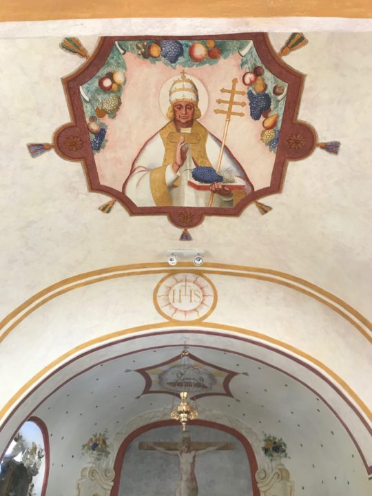
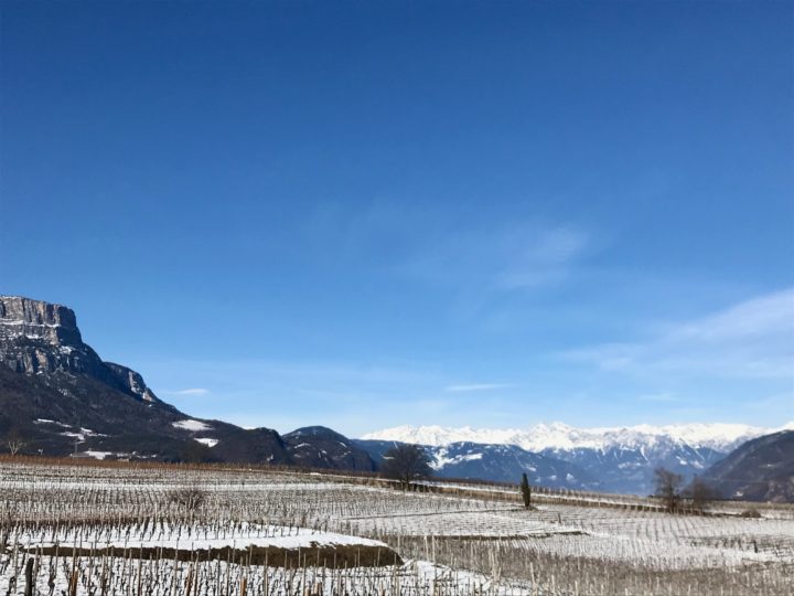
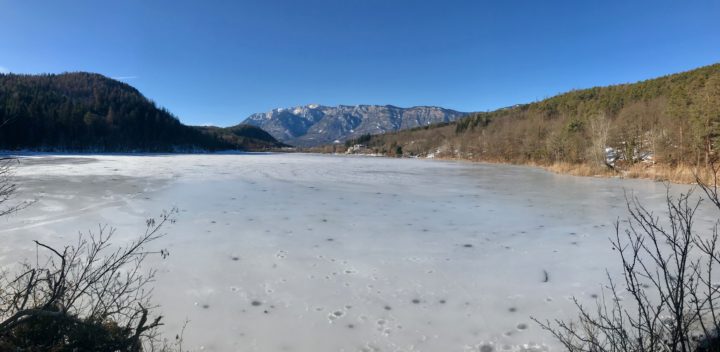
It slowed us down, but that was probably a good thing, because the day was truly glorious. The Montiggler See/Laghi di Monticoli are these little gems tucked into the forest, ice-covered now but undoubtedly swimming magnets in the summer. Birds were everywhere, warming up in the balmy breezes. The sun was out, the sky was blue, and no one was on the trails but us. We found brand-new trail signs, jury-rigged bike jumps, and even an impeccably-maintained 12-seat church (it is Italy, after all), once we’d entered the village of Colterenzio/Schreckbichl, which is currently blanketed with a patchwork of wintry wineries. If this run were snow-free, it’d be fast and easy, with the added bonus of a dip in a lake!


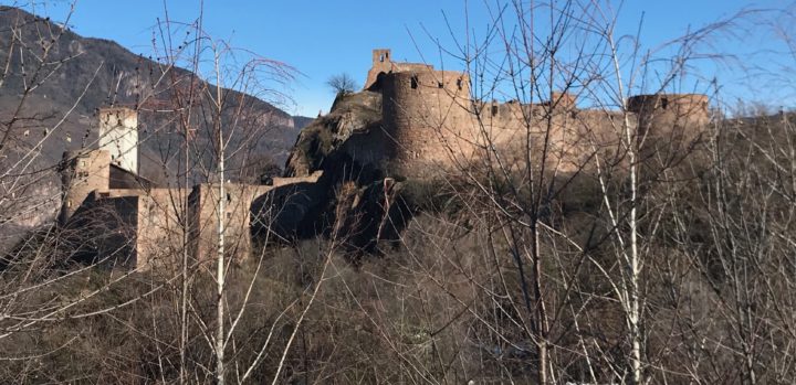
And then, I came around the corner to this. This castle, Schloss Sigmundskron, has an interesting history. Currently, it is the centerpiece of the mountaineer Reinhold Messner’s Mountain Museums. It was built before 1000 A.D. and then owned by a variety of princes and earls through the centuries. In 1957, it was the location of the Südtirol’s largest-ever political demonstration, of 30,000 people, demanding independence (from Italy) for the Südtirol. The Südtirol is now considered an “autonomous area” of Italy, which means that it has greater self-government and pays a smaller portion of its taxes to Rome than other Italian provinces.

And then it was over. We passed over the Ponte Adige and ran directly into the train station. Almost 8 miles. We sunbathed in February on a glorious wooden bench while waiting ten minutes for the next train.

I will miss this. Mornings running through the woods with Chris, the next train just ten minutes away. Always an adventure.
Reviews of English-language movies: un divertimento

Posted by julie on Friday, 1 February 2019, 23:12

In our home, we value a good movie, whether it’s on the big screen or on our big screen. Miyazake is a winner (at least with three of the four of us), foreign films are making a comeback as everyone in our family has started to read subtitles quickly enough not to be frustrated, we’re making our way through inappropriate PG-rated 80s movies, and no one turns down a good or not-so-good adventure or action flick (The Fast and the Furious, anyone?).

Here in Italy’s Alto Adige, one thing we’ve found is that, since German and Italian are spoken by nearly everyone, English rarely is, as it would be a third language for most people. Despite the fact that the university around the block actually attracts students from across Europe, Asia, and northern Africa, for whom English is the common language, movies are very rarely shown in English in Bolzano. The multi-movie Cineplexx usually has one English movie night on the last Tuesday of the month, at 8:30 on a school night; and the Filmclub, which is nearby and very nice, with velvety, steeply-canted seating, shows arthouse and Oscar-nominated movies, which are nearly always in Italian or German. The other night, however, I found that they were screening The Dawn Wall in English with German subtitles. That prompted these haiku mini-reviews of movies I’ve seen in the past few months, most of which I sneaked in while I was in the States for Christmas, but a few of which I found on Netflix here in Italy or watched on the flights back to the States.

Blackkklansman
Black cop, white bigot?
Adam Driver is a charm
Spike nails relevance

Mary Poppins Returns
Uppity Poppins
costumed magnificently
proper cameos

The Favourite
Cattiness, love, pride
achingly-portrayed Queen Anne
seventeen bunnies

A Star is Born
Musical romance
fame, love, envy, alcohol
and Andrew Dice Clay?!

Spider-Man: Into the Spider-Verse
Multiracial teen
jaw-dropping animation
lots of Spider-friends

Bohemian Rhapsody
Homage to a friend
Freddie struts, swaggers, sings, soars
shared songwriting, cats

The Wife
Sad state-of-affairs
surround a Nobel Prize win
eventual hope

The Ballad of Buster Scruggs
Neeson, Franco, Waits
six vignettes artfully filmed
disturbing plot twists

The Dawn Wall
Tommy Caldwell climbs
Kev Jorgeson displays grit
port-a-ledge coffee

Sometimes it’s good to flex underdeveloped muscles, in this case my haiku muscle. Thanks for enduring!

Note: For a while, the last line of the last haiku was “pooping in a bag.” However, I think to anyone who hasn’t pooped in a bag, that line is all that lingers—and I also didn’t want readers to think that the only thing about which Kevin Jorgeson displayed grit was pooping in a bag. That original line does, however, fit the haiku model a bit better, with a surprise or understanding at the end. Ah, the challenging editorial decisions that come with a personal blog that 11 people might read….

Trail report: Mutspitz loop

Posted by julie on Thursday, 25 October 2018, 6:12

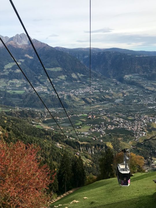
Seilbahn Hochmuth. I’m sure this funivia has an Italian name, too, but, unlike farther south in the Südtirol, the Italian translation isn’t always available this far north, so learning the German name can be invaluable.

Trail Run Distance: 7.11 mi (11.44 km)

Trail Run Elevation gain: 3522 ft (1074 m)

Summit: Mutspitz/Monte Muta (7526 feet/2294 meters)

People encountered on trail: at least 50, on a Tuesday in October

Total time: 3 hrs, 38 min (including plenty of photo breaks, a couple of layer/delayer breaks, and 20 minutes on the summit of Mutspitz shoveling food into my mouth, signing the summit register, and jumping for posterity)

Forms of transportation, one way: train, 2 buses, funivia

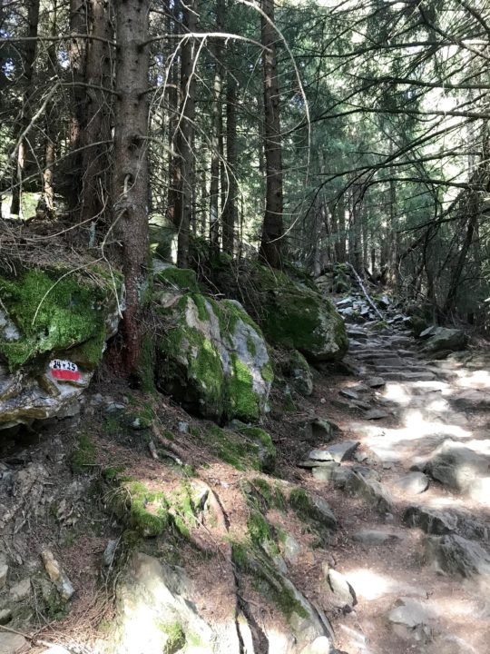
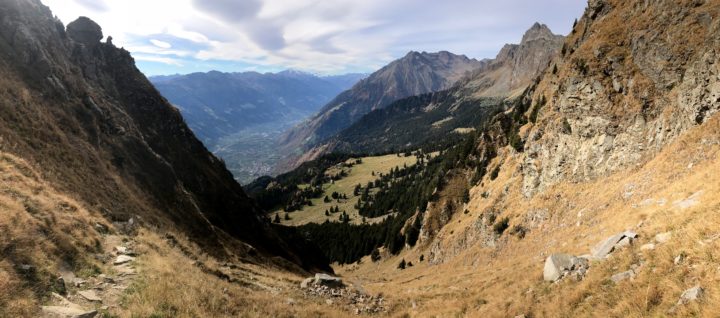
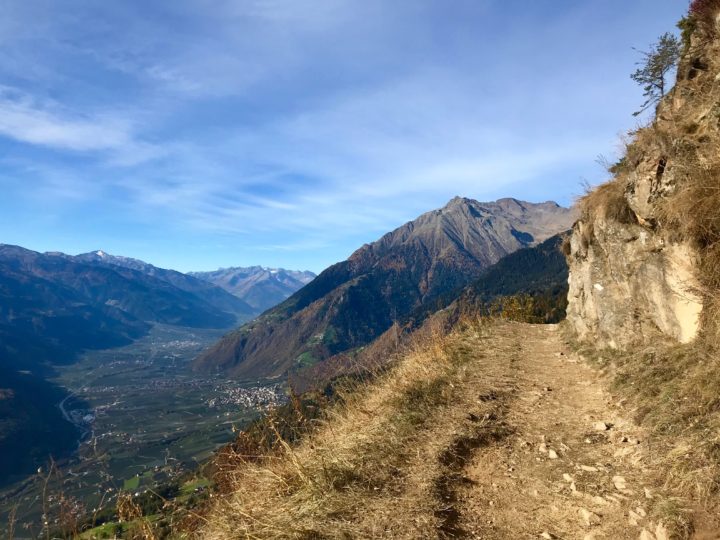
Trail 24, which drops off precipitously to the south, with views up the valley of the Adige to the west.

The mountains of the Texelgruppe, or Gruppo di Tessa Natura Park, rise from the north side—the Alps-side—of the city of Merano, at the convergence of the Adige and Passirio Rivers. Those rocky peaks with their ramp-like ridges are really just asking to be climbed.

Looking for an adventurous trail run, I couldn’t believe my luck when I opened my map and found the Mutspitz loop. It looked short enough to do during a school day, if my husband wanted to join me (although he wanted to, he wasn’t sure we’d be back in time, so I went solo); and I’d get up into those mountains that I’d been admiring from afar.

After a train from Bolzano to Merano; then bus 221, which runs every 15 minutes, from the Merano train station to the Tirolo bus station; followed by bus 222, which also runs every 15 minutes, to the Seilbahn/Funivia, I bought my €10 andata e ritorno (round-trip) ticket and stood in line with 40 or so other hikers and a dog, awaiting my turn in the 20-person funivia car.

In Oberhochmuth, I chose to run my route clockwise, heading toward the Steinegg gasthof (guesthouse) on trail 24. I think, in retrospect, I’d prefer the counter-clockwise route. I chose clockwise because the steepest section was on the first part of my route, and I didn’t want to come down it. But, really, both sides are steep, and the crazy cobblestone-like rocks laid in the trail to prevent spring mud and summer dust was quite challenging on the way down. It offered a constant tripping hazard, and the continuous pounding downhill on hard rocks hurt my feet through my thin trail shoes.

Steinegg has a beautiful panoramic vista with mountains marked along the rail (and amazing viewfinders that, when you turn them, identify in text what mountains you’re looking at!). After that, trail 24 is nearly level, traversing the mountain with wide-open views to the south and plenty of benches positioned to enjoy the sun—hence the trail’s popularity. “Morgen!” or “Grüß Gott!” I said, dozens of times, as I passed hikers on the trail.

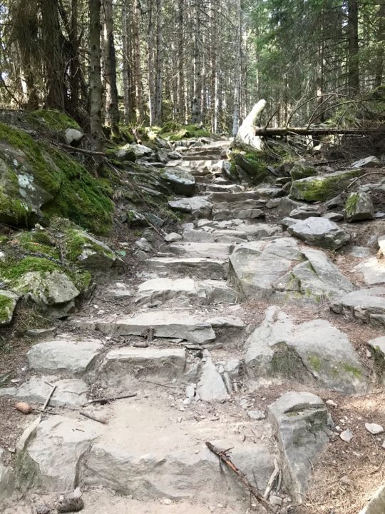
Eventually, I turned uphill on trail 25, into the spruce forest and onto the solid stairs.

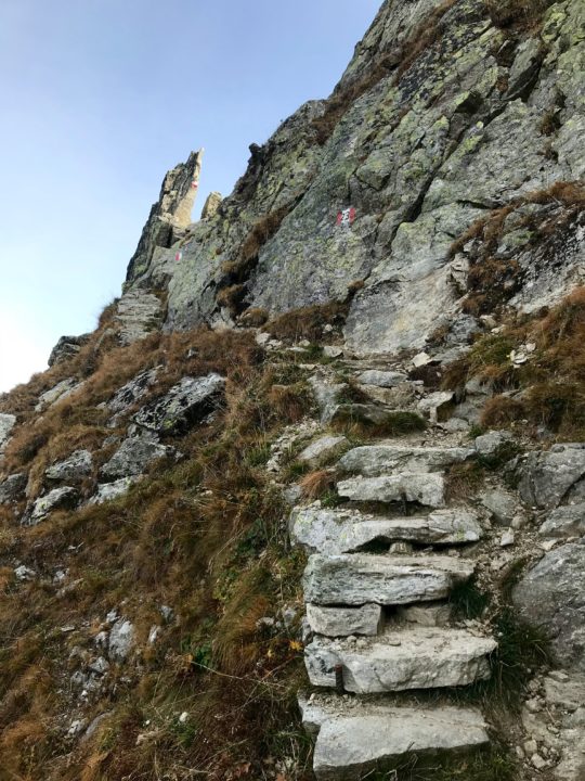
Well, if I have to climb 3500 feet, at least I’d like to have stairs.

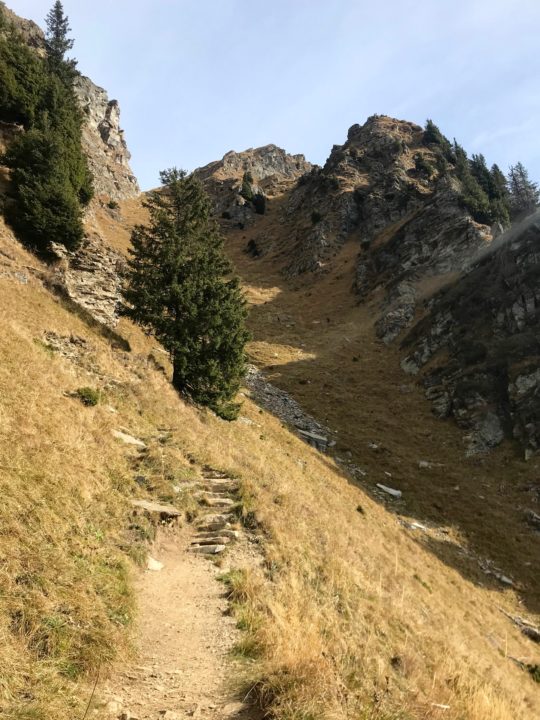
At 3.23 miles, I reached the Taufenscharte, a pass between the yawning Adige valley to the south and the narrow gorge of the apparently unnamed creek to the north (Google Translate informs me that Taufenscharte means “baptize gathered.” Interestingly, this location has another German name which means “yoke of Kar.” Now I want to research the area to find out more about its names.) The last uphill push to the Taufenscharte crosses a steep, grassy gulley with approximately 18 switchbacks. It’s a heartbreaker.

By gulley, that was difficult.

At the Taufenscharte, I ran into a 40-something, German-speaking couple. After realizing our shared language was English, we started talking; and the first thing the man did was mansplain my actions to me. Actually, it was more “guyvice-ing” (unsolicited guy advice) than “mansplaining.” After asking if I was alone, he said, “Maybe that’s not such a good idea. What if something happens to you?”

I felt the completely irrational need to explain my actions to him: my husband knows where I am, I’m careful about where I go alone, I have a surprising number of warm layers in my tiny running pack, I would turn around if I felt unsafe or uncomfortable on the terrain. The woman nodded and didn’t look concerned as I essentially ticked off my credentials for why I should be allowed to go for a 7-mile run alone in the mountains on a sunny fall day. I proceeded to put on a couple of layers, take out my topographic map, and eat a tangerine. That’s when Guyvicer asked if he could borrow my map, because he only had a tourist map that didn’t show topography (insert eyebrows-raised look of disbelief).

The route was almost unrelentingly uphill to the Mutspitz, but it always had very good footing.

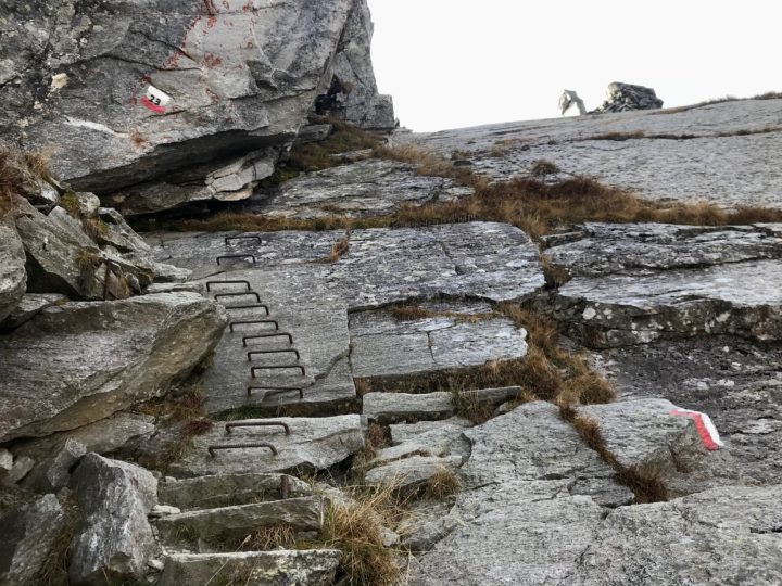
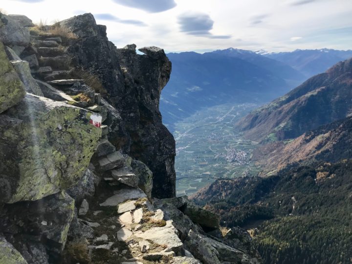
This short section just west of the Mutspitz is the most exposed of the entire trail. It does drop off just as the photo shows.

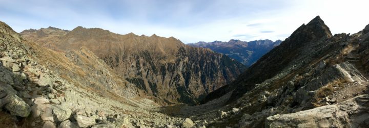
Trail 23, off the north side of the Taufenscharte, headed into the shade, at which point the trail felt truly alpine—no trees; lichen-covered metamorphic boulders, sometimes shining with mica, jumbled among the grasses; and a cold north wind. The trail dipped and rose, climbing some bedrock and eventually heading to the Mutspitz on the occasionally narrow ridge.

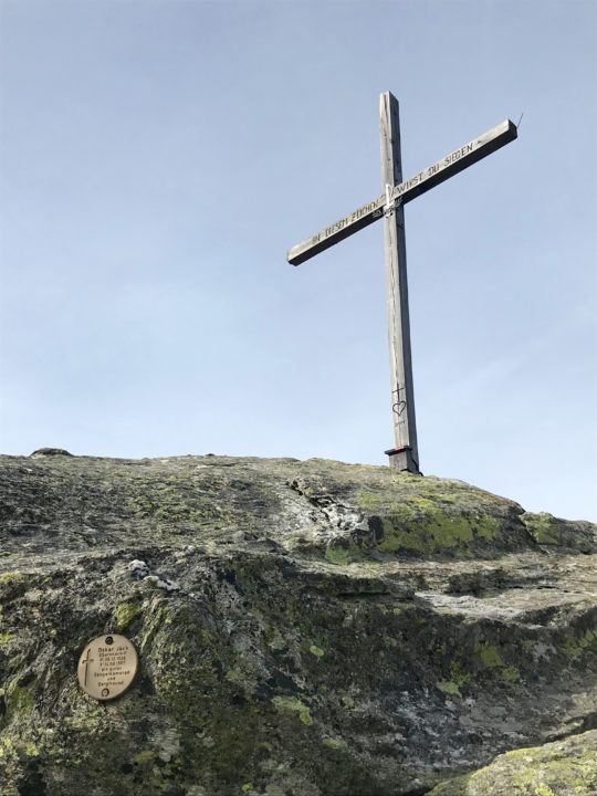
Would it be a summit in Italy without a cross?

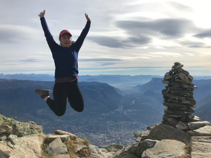
If I don’t look quite certain, it’s because I’m not sure if my landing will involve an ankle sprain.

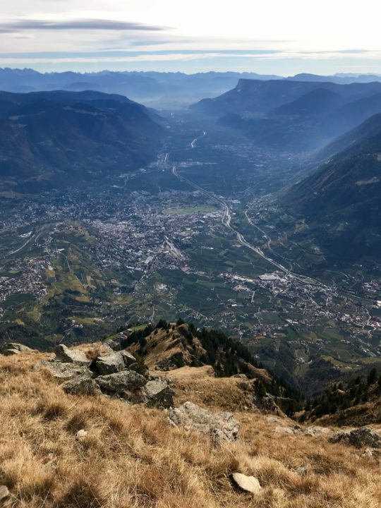
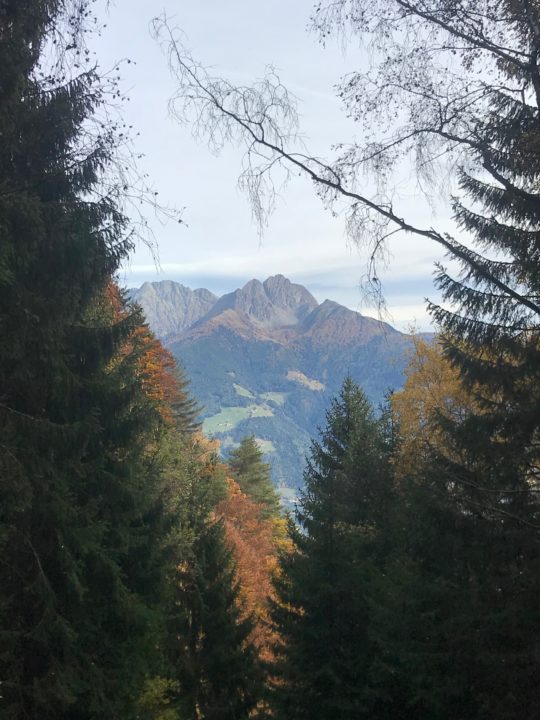
The view south down the Adige valley, with Merano just to the left of center, at the base of the hills. Bolzano is around the corner of the ridge that comes down on the left.

After I’d spent my 20 minutes on the summit writing in the log, eating, and taking some photos, I headed down the golden grassy ramp, beautifully sunny and warm. Then I encountered the crazy cobblestone section and tried to glide down in order to avoid foot-pounding or tripping and finding myself with a broken nose or wrist.

At the Mutkopf Inn, its outdoor tables packed with hikers having streudel, espresso, and beer, I turned south onto trail 22. This is the one section of trail I’d be sad to miss if I reversed this route. I felt like flying down the easy dirt trail, which was never too steep and never too rocky. I was a great way to get downhill.

I found Oregon on my trail run!

Golden larchlight, with changing foliage across the valley.

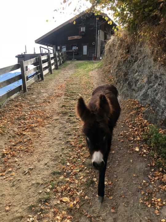
The deep bells of the goats welcomed me back to Steinegg. After I came through the gate, a remarkably soft-haired young donkey walked right up to me, asking for a forehead scratch.

I caught the next funivia down, then the buses ran on time, and I made it back home on the train soon after my family did. Beautiful, difficult, with great views, I would do this hike/run again and again!

October in Bolzano: A Day in Photos

Posted by julie on Thursday, 18 October 2018, 12:10

This is what my life looks like right now. (Full disclosure: I actually took these over the course of a week, but only because I could never remember to keep taking photos once I’d started. I could relatively easily re-enact a day where I took all of these photos.)

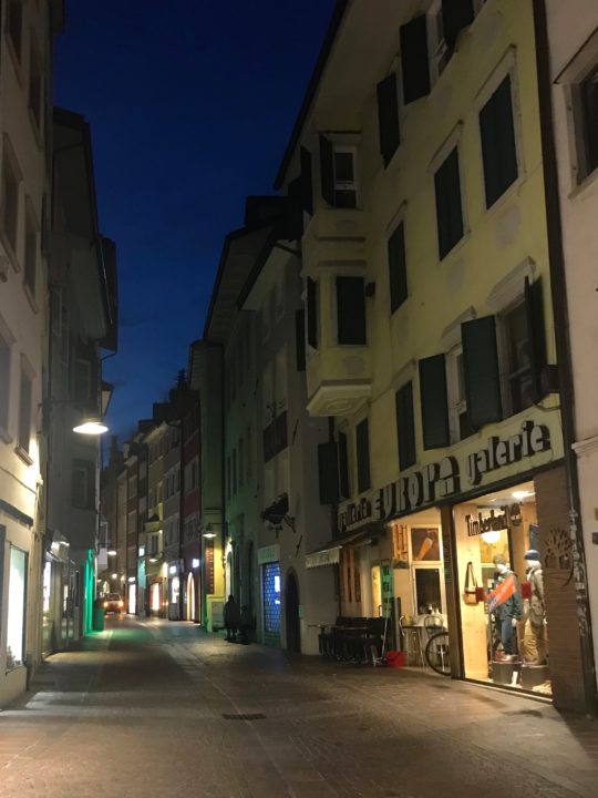
This is our street when we leave for school in the morning (good thing we bought bike lights!). Cars and delivery trucks are allowed on Via Museo until 10 a.m.; in reality, delivery trucks sneak through most of the day, but it is CROWDED with humans and dogs and bikes, so the vehicles move slowly.

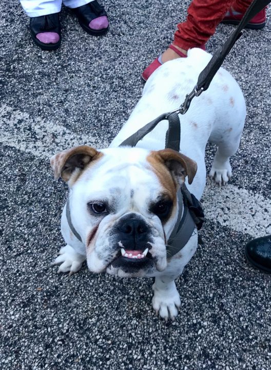
This is Camilla. She is so much more gentile than she is bellissima. She is crazy about the boys who live in her house (each of whom is in each of our kid’s classes). She was dropping her kids off for school when I took this photo.

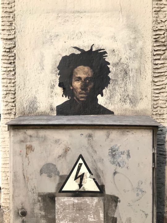
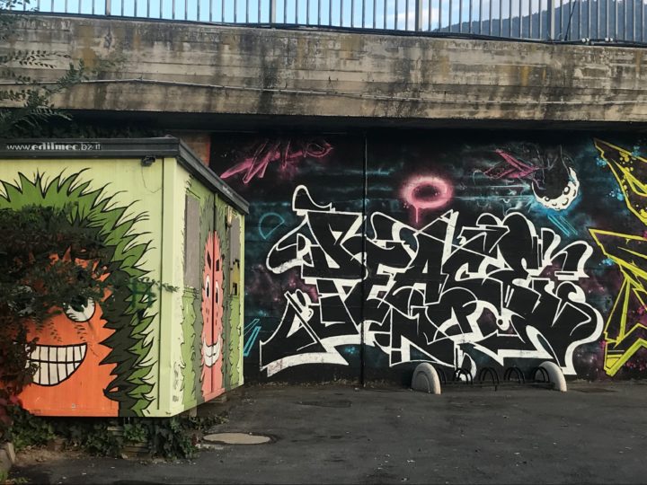
There is so much good street art in this city—and every place I’ve traveled in Italy, actually.

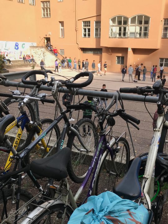
While Bolzano has some great playgrounds, this middle school’s outdoor space is just a concrete rectangle—and it doesn’t even have basketball hoops! To be fair, this is the densest part of the city. In the foreground are my groceries in my new bike basket on my unlovely-but-very useful secondhand bike. We park our bikes here at the Free University of Bozen-Bolzano, and we lock them, hoping that the unlocked bikes will walk away before ours do.

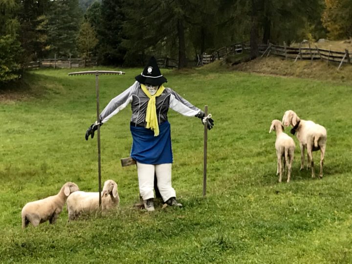
We found a scarecrow and some sheep while out on a trail run.

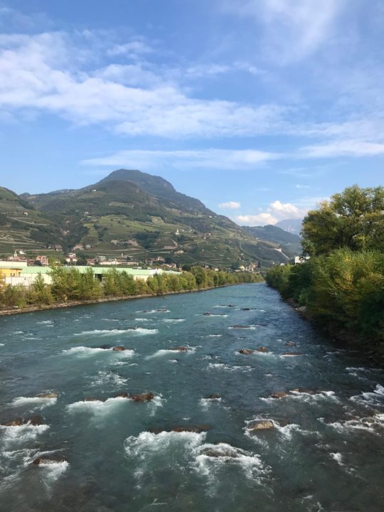
This is the view from Ponte Campiglio over the Isarco (in Italian) or Eisack (in German). In the Südtirol, signs are in both Italian and German; and I’m actually more likely to be greeted in German than in Italian (although that could be more a function of what I look like than of the speaker’s first language, because nearly everyone is at least bilingual in Italian and German).

The Ponte Campiglio is part of the kids’ daily commute to school, so we either ride our bikes over it or walk over it after taking the bus.

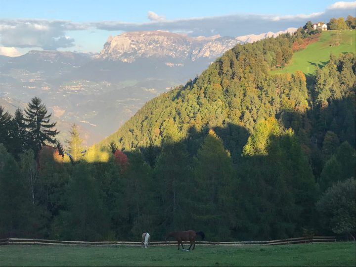
I still can’t quite wrap my head around the view from outside our children’s school. The mountain in the background is Sciliar (Schlern in German). We haven’t met the horses yet, but that’s a goal.

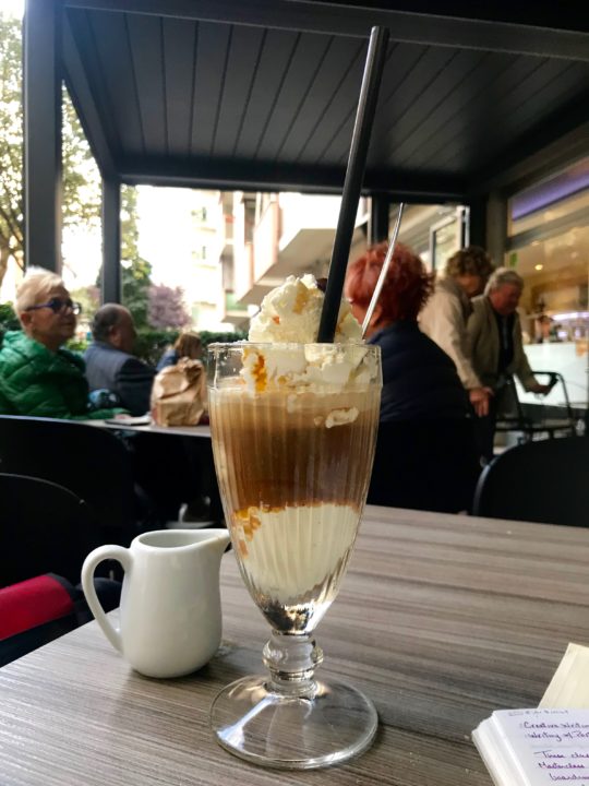
Sometimes, a mom just wants an Eiskaffee (menus only have the German word for it, just like apricot bread is only Aprikosenbrot at the best nearby panificio/Bäckerei; I guess some things work just fine in only one language).

Street art. Stay tuned for a graffiti post.